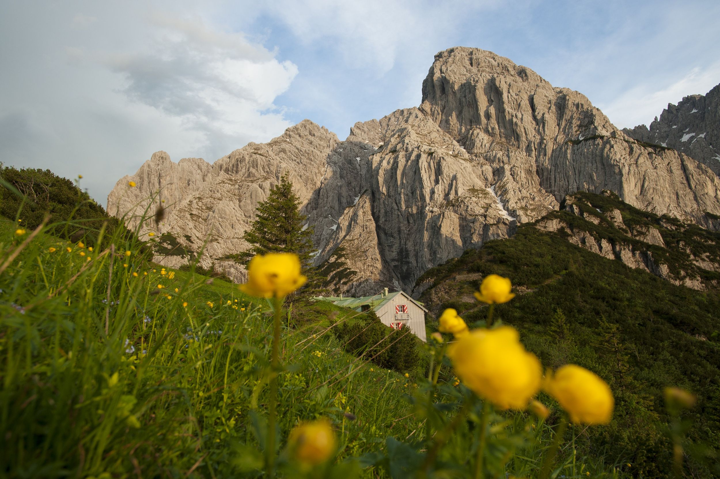
Difficult hike between the Wilder and Zahmer Kaiser mountain ranges


Difficult hike between the Wilder and Zahmer Kaiser mountain ranges
Tour description:
On this hike you are in the area between the Wilder and the Zahmer Kaiser mountain ranges with wonderful views of the rugged peaks, lake Walchsee and the Reit im Winkl valley.
The start is at the Griesner Alm car park at the end of the Kaiserbach valley between Kössen and St. Johann in Tirol. On a wide path it goes first to the Ranggen Hochalm, from there on a steep path through mountain pines to the summit of the Feldberg. There are rugged and rope-secured places. The small path now follows the ridge in slight ups and downs to the summit pavilion of the Stripsenkopf. Passing the via ferratas, you have to look a little for the right path until you reach the Stripsenjochhaus hut. The way back is partly steep but without difficulties.
Refreshment stops: Stripsenjochaus, Griesner Alm.
Coming from Salzburg on the Salzburg - Munich federal motorway (A8 to Grabenstätt, exit no. 109), continue in the direction of Marquartstein and on the well-developed German Alpine Road (B305 to Reit im Winkl). Continue on Tiroler Straße and follow the road to Kössen, Schwendt, Grießenau and Grießneralm. Car park: Grießeneralm, Kaiserbachtal 6, A-6382 Kirchdorf in Tirol.
From Munich or Innsbruck on the federal motorway Rosenheim - Innsbruck (A93) to Oberaudorf (exit no. 59). Continue to Walchsee, Schwendt, Grießenau and Grießneralm. Parking: Kaiserbachtal 6, A- 6382 Kirchdorf in Tirol.