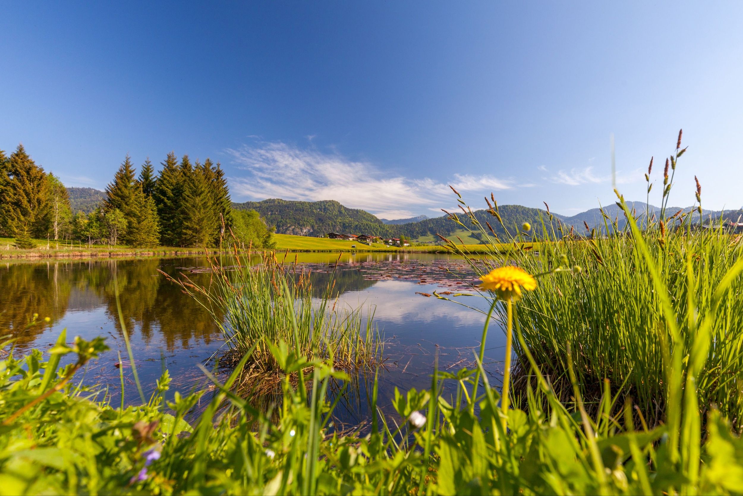
Roaring water, pithy rock and gentle alpine meadows - this hike is a varied, enjoyable tour through the freely accessible gorge in the Blindau district.


Roaring water, pithy rock and gentle alpine meadows - this hike is a varied, enjoyable tour through the freely accessible gorge in the Blindau district.
Tour description:
Directions: The premium hiking trail starts at the Festsaal in Reit im Winkl (685m). Walk past the sports field to the Loferauen and follow the signs to the Grenzsteg bridge. Along the fairytale forest, it goes gently downhill to the Lofer river, which flows into the Tiroler Ache in Kössen. After a 30-minute walk, the Grenzsteg (651m) is reached, a bridge that leads over the Lofer.
Shortly after, the wide forest road tapers into a wonderful walk in the direction of the Krautloidersteg. After 250 meters the path meets a forest road. This leads to the right in a southwesterly direction up to the Mühlau high moor (681m). The high moor is picturesquely nestled on the border between Germany and Austria with a view of the Unterberghorn and the Geigelstein mountains. The further ascent to the Demel-Hauseralm (879m) is initially very steep.
After about 40 minutes and 200 meters in altitude, the view of the alpine pastures above the Klausenbergalmen opens up. Cows graze here in summer, you cross the meadow to reach the alm. Then a paved road leads steeply down to the alpine pastures on Klausenberg (800m). The view of the summit wall of the Unterberghorn is simply spectacular from the alpine pasture area.
From the Klausenbergalm, you hike 15 minutes to the entrance to the Klausenbachklamm gorge (780m), the highlight of this tour. The path over the gorge down to Blindau is slippery when wet, but can also be bypassed via a forest road. The path leads down through the gorge over a narrow root path to the foot of the mighty south face of the gorge. The overhanging rock rises more than 30 meters, at the foot of the wall the Klausenbach river flows towards the valley. And right next to it the path through the gorge.
If you look closely, you can discover two aluminum boxes in the rock - wall books of earlier climbing routes. The path then flattens out along the rock face until you reach a narrow bridge. From here it goes steeply downhill on a rocky path with steps into the valley basin of the gorge. In the creek you can admire the eddies, watermills and gullies that shape the rock. At the bottom of the gorge, a narrow bridge (danger of slipping) leads over the Klausenbach to the other side of the gorge. It goes steeply up a few meters until the view of Blindau opens up.
The benches in the Blindau playground invite you to take a break before continuing back to Reit im Winkl. Past a small pond and up to Alt-Blindau you have a beautiful view of Reit im Winkl and can marvel at the chapel in the center of the farmhouses. Then the signposted path leads down to the Lofer river and over the Krautloidersteg bridge back to the center of Reit im Winkl.
Refreshment stops: Klausenbergalm, (detour to the Zwerchenbergalm approx. 35 min. easy walking time, drinks only!) and in town.
Coming from Munich or Salzburg on the Munich - Salzburg motorway (A8 to Grabenstätt exit no. 109), continue towards Marqartstein and on the well-developed German Alpine Road (B305) to Reit im Winkl.
Drive from the village in the direction of Ruhpolding. After approx. 1 km turn in the direction of Blindau, approx. 1 km to the parking lot: -Fellhornweg, 83242 Reit im Winkl.
Coming from Munich or Innsbruck on the Rosenheim - Innsbruck motorway (A93) to Oberaudorf (exit 59). On to Walchsee, Kössen and Reit im Winkl. Drive from the village in the direction of Ruhpolding.
After approx. 1 km turn in the direction of Blindau, approx. 1 km to the parking lot: -Fellhornweg, 83242 Reit im Winkl.
Connections to Reit im Winkl from Prien am Chiemsee train station (best bus connection!). With the RVO bus line 9505.
Stop directly at the tourist information office.
Connections to Reit im Winkl from Ruhpolding train station with the RVO line 9506. Bus stop Tourist Information