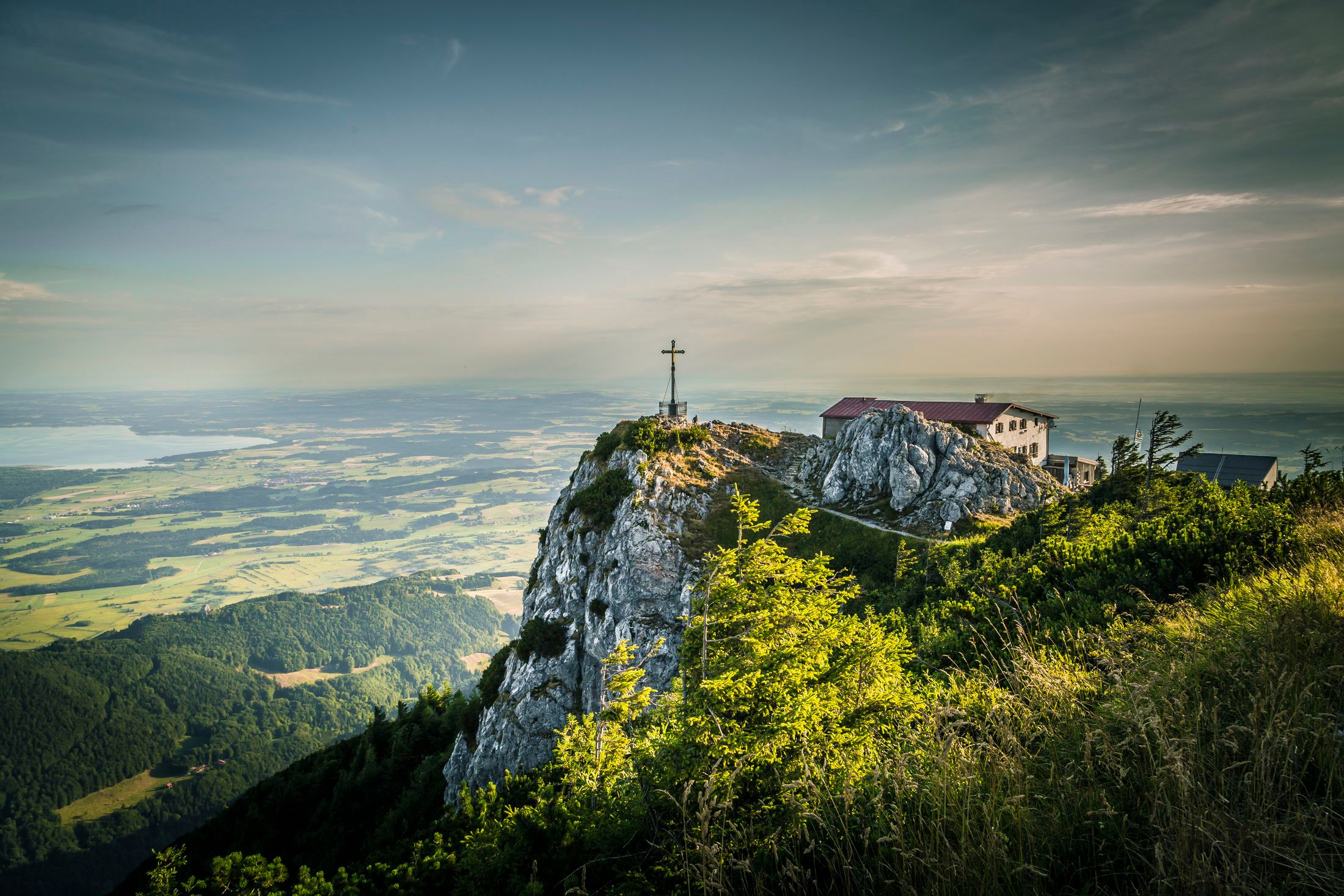
The classic route to Hochfelln


The classic route to Hochfelln
Tour description:
Way: Starting point at the Hochfelln cable car valley station. Optional parking lot lime kiln. A varied hike through the romantic Schwarzachental. Hiking time to Bründling-Alm approx. 2 hours. Here cable car middle station ascent to the summit. From Bründling alpine trail character. At the summit, there is a geological-botanical circular route with 22 information boards (which is also the summit circular route). Restaurant Hochfellnhaus and Taborkirche. Special features: The Hochfelln (1,674 m) is the Chiemgau's viewing terrace. Magnificent view of the Central Alps and the northern Chiemgau with Chiemsee. Refreshments: mountain restaurants (Bründling-Alm) and summit house on the Hochfelln. Tip: Taborkircherl and nature and geology trail with 22 display boards on the Hochfellngipfel