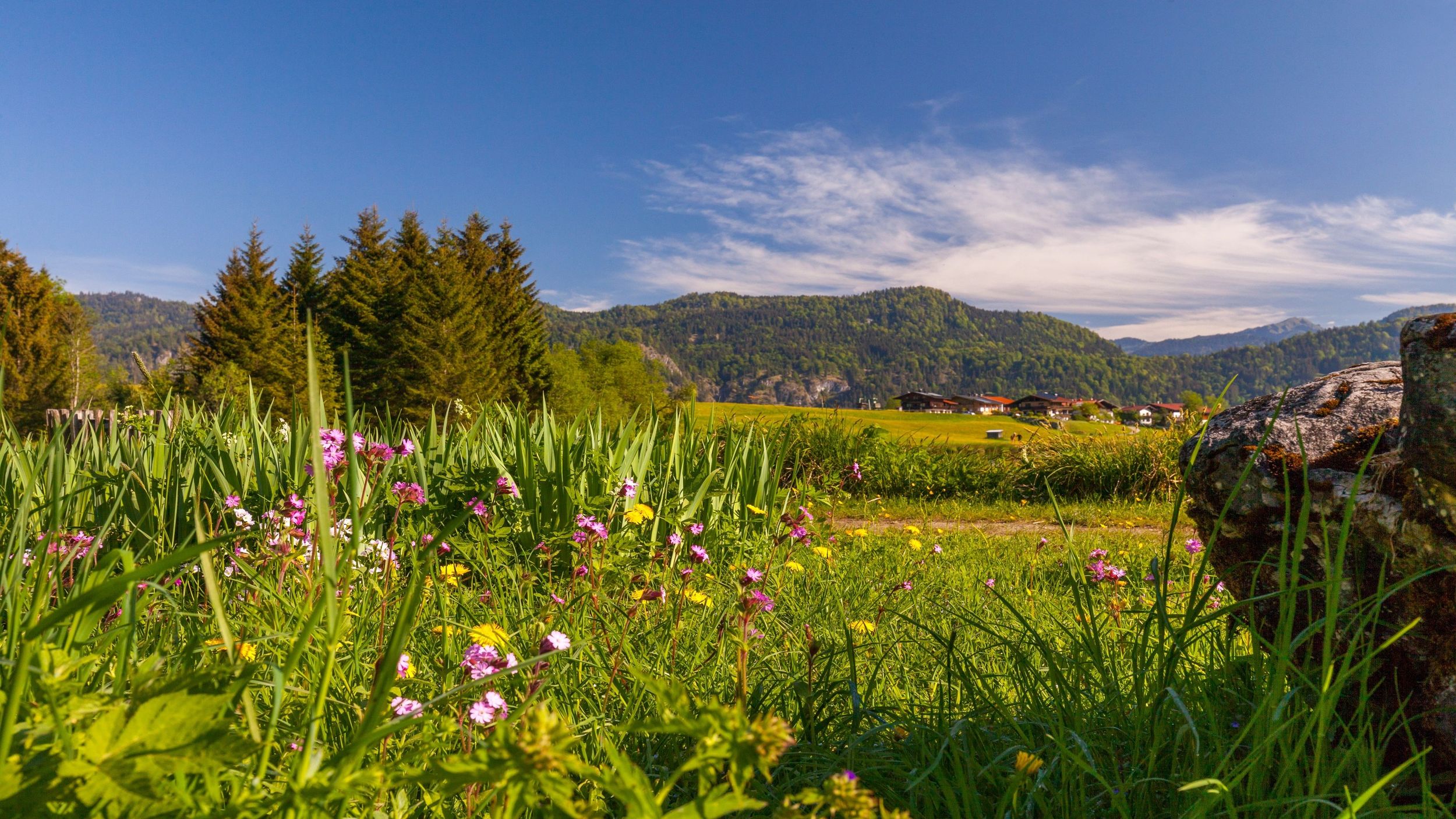
Nice route along the Lofer river and back to the alpine town of Reit im Winkl.


Nice route along the Lofer river and back to the alpine town of Reit im Winkl.
Tour description:
Recommended equipment: Running shoes
Running route: From the start at the Festsaal along the sports field over meadows and beautiful forest paths down to the Lofer river and the Grenzsteg bridge.
After crossing it, run on a shady forest path along the Lofer river, at the fork turn left over the Krautloiderbrücke bridge, then immediately right towards the district of Loferau. Turn left at the recycling center and then after approx. 150 turn right towards Reit im Winkl to the starting point at the Festsaal.
The cool water of the Lofer river invites you to take a short Kneipp break.
Coming from Munich or Salzburg on the Munich - Salzburg motorway (A8 to Grabenstätt exit no. 109), continue in the direction of Marquartstein and on the well-developed German Alpine Road (B 305) to Reit im Winkl.
Parking spaces: -Tourist - Info, Dorfstraße 38, 83242 Reit im Winkl. -Tirolerstraße 37 am Festsaal, 83242 Reit im Winkl.
Coming from Munich or Innsbruck on the Rosenheim - Innsbruck motorway (A93) to Oberaudorf (exit no. 59). On to Walchsee, Kössen and Reit im Winkl.
Parking spaces: -Tirolerstraße 37 am Festsaal, 83242 Reit im Winkl, -Tourist - Info Dorfstraße 38, 83242 Reit im Winkl.
Connections to Reit im Winkl from the Prien am Chiemsee train station (best bus connection!) With the RVO bus line 9505.
Stop directly at the tourist information or at Festsaal.
Connections to Reit im Winkl from Ruhpolding train station with the RVO line 9506. Stop directly at the tourist information or at Festsaal.